Humla at a glance
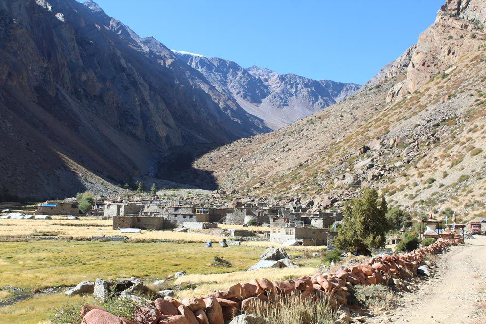
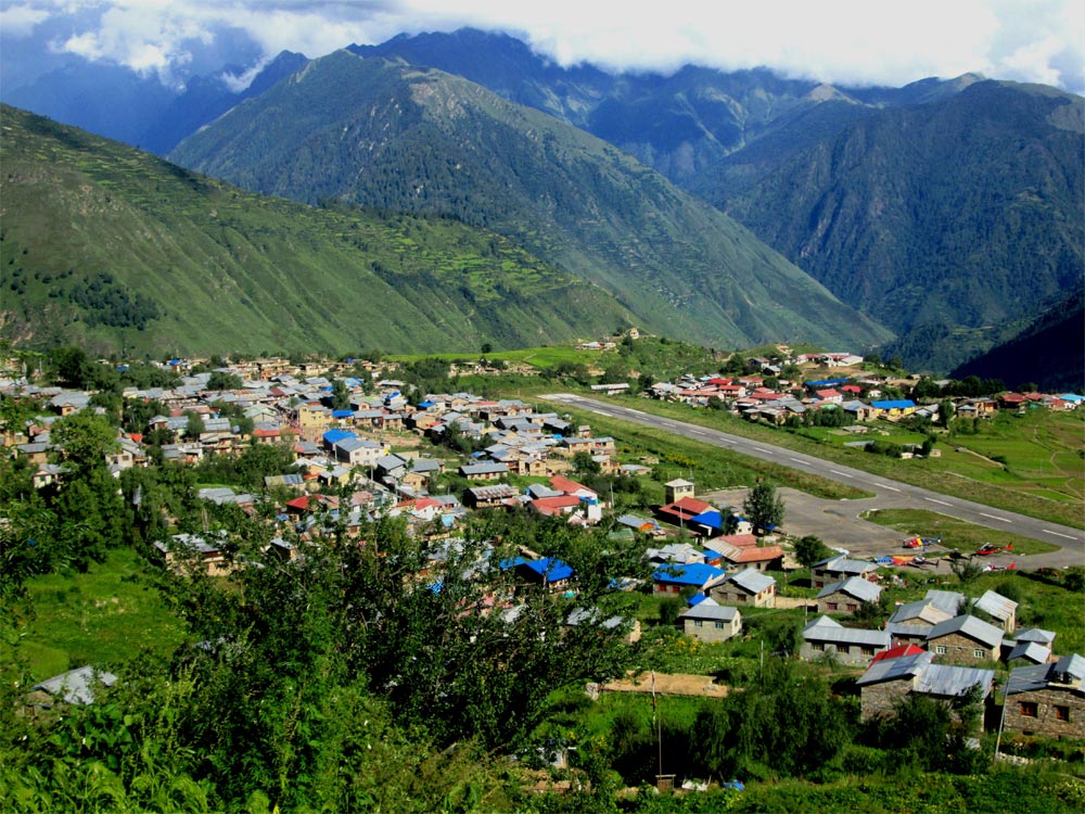
Humla is the westernmost of Nepals' high mountain valleys, located in the northwestern corner of nepals' mid-western region. Humla is bounded by the Mugu in East, Bajhang in West, Bajura in South and Tibbet in North. Area of the district is 5655 square km and its' altitude ranges from 1300 to 8000 m. There are 27 VDCs and Simkot is the districts headquarter of Humla, it lies at an altitude of 2950 m. In terms of transport and communication facilities, Humla is one of the Nepals' remotest and poorest districts, only one medium of transportation is airplane service. Humla lacks the access in good sanitation, water, drainage, dumping sites, motor roads, development facilities, good and regular communication and electricity, and importantly it lacks the access in good education and health. Many people of Humla have the low financial status and the government has not effective vision and program to upgrade the status of the people. Much of the land consists by relatively undisturbed forests and nearly inaccessible mountainous regions having the small and scattered settlements. People from different casts such as Brahmins, kshettris, Thakuris, Lama, Damai, Kami and Sarkis use to live and their main languages are Nepali, Humli Khas and Lama Kham. Survey of the population census 2068, there are 9479 households and the total population is 50858 including 25833 male and 25025 female.
Humla district has no protected ecosystems, no any national parks, wildlife reserves or hunting reserves. A small but growing numbers of tourists visit the area yearly; most of them make it a trekking route to Mt. Kailash and Manasarovar across the Tibetan boarder, along with it, they visit the local tourist areas like Raling, Kharpunath Temple and many other lakes and mountains. As it is typical place of Nepal, Humlas' ecosystem encompasses a tremendous bio-diversity of flora and fauna. Most of the land lies in the alpine zone (2000-3000m.). The climate is harsh, with snow up to four months of the year, only 1% land is arable. There is practically no irrigation, the soil is poor and the land is very dry and arid. North central Humla receives an annual precipitation of 500-1000mm, while the southern portion receives 1000-1500mm. Topographically, Humla can be divided into four zones: Narrow Valley, Mid Hills, High Hills and Snow Mountains. Ten percent area of Humlas' is Snow Mountains, about a quarter of the district is forest and 2.8 percent area is pasture while the majority 61% consists of barren land, stony banks and slopes, landslide areas, settlements and water.